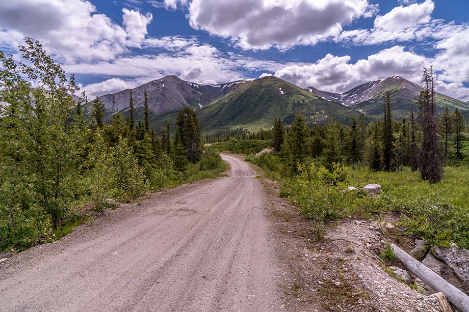
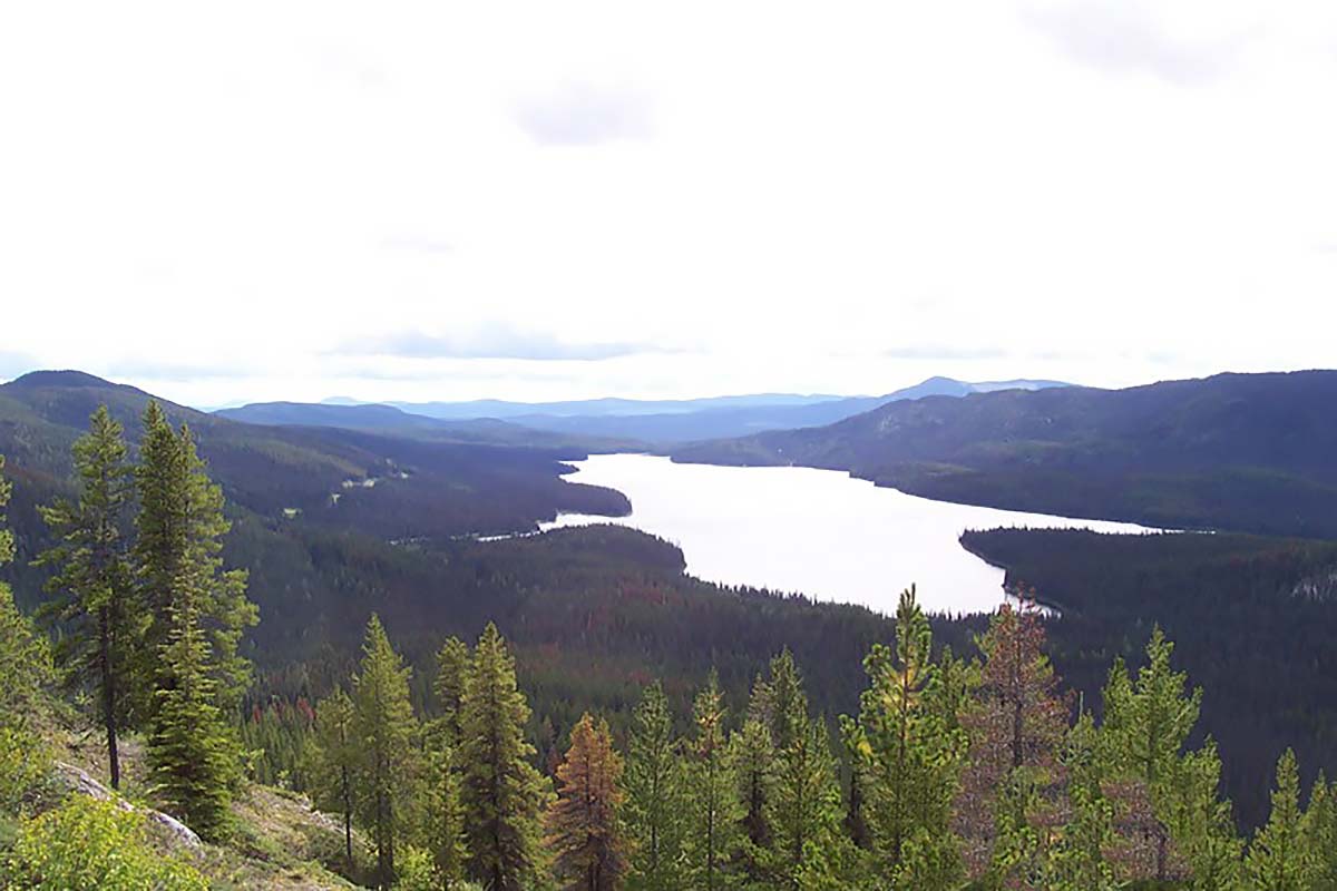
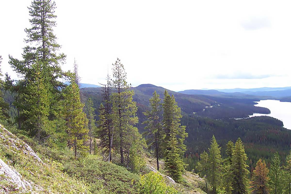
Situated in north-central British Columbia on the east side of Albert Lake, a 2-hour drive from the community of Fort St. James, the Indata Property comprises 16 mineral claims totaling 3,189 hectares.
Copper in Soil Samples. Click/tap image to enlarge.
Magnetic Geophysics. Click/tap image to enlarge.
Location Map. Click/tap image to enlarge.
HISTORY
Originally staked by Imperial Metals Corp. in 1983 with early exploratory efforts every 3-5 years since.
Each wave of exploration has contributed to the geologic knowledge of the site and further defined areas of greatest potential.
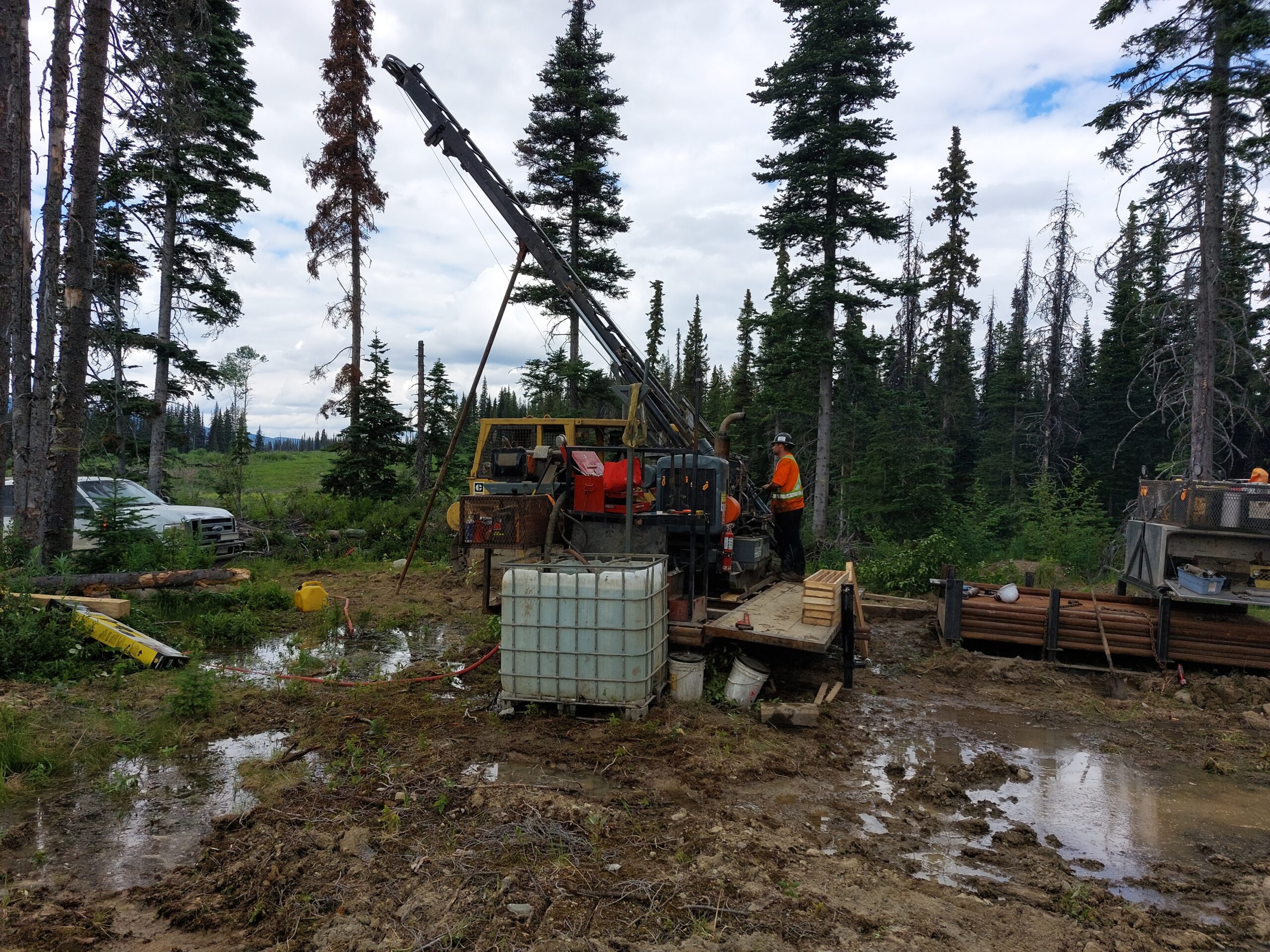
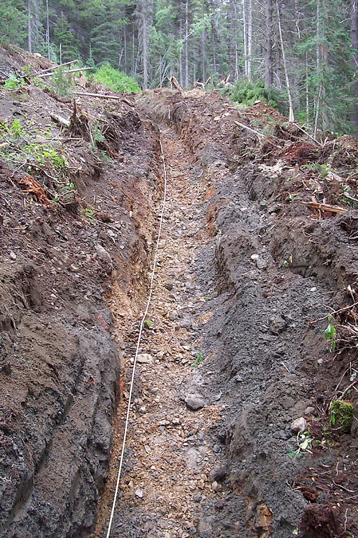
Grab samples, trenching, drilling, aerial magnetic surveys, ground geophysics and soil samples provide a solid base of information upon which each successive stage of exploration will build, providing operational efficiencies designed to save time and money.
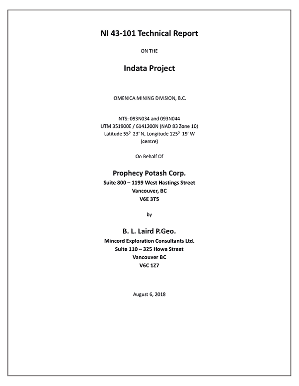
NI 43-101 TECHNICAL REPORT
Click/tap on the image above to view/download historical NI 43-101 Technical Report
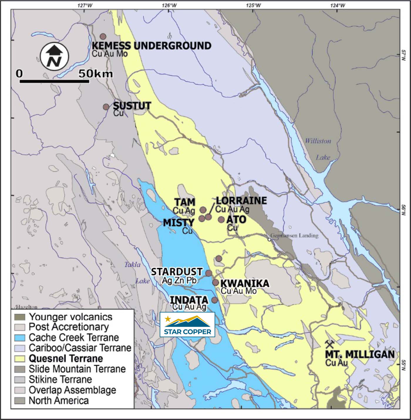
The Neighbourhood
The Indata property is located, physically and geologically, in the same neighbourhood as some of Canada’s most exciting recent copper discoveries.
The Kwanika discovery is located approximately 3km from the Indata site in the prolific Quesnel Terrane, which hosts numerous porphyry copper-gold deposits with two bulk tonnage calc-alkaline porphyry deposits; the primary Central Zone Cu-Au porphyry, and secondary South Zone Cu-Au-Mo porphyry deposit.
The Central Zone was discovered by Serengeti Resources in 2006 and features both a near surface open-pit resource, and a higher-grade underground resource that has the potential for block cave mining.
The Stardust discovery is another high-grade copper-gold deposit in the same geologic formation located about 20km north of the Indata site. That property features a 2.2-kilometre corridor of mineralization. The strength of mineralization there suggests that Stardust is a robust mineralized system with a high number of pulses of mineralizing fluids. Long-lived and multi-phased systems are synonymous with large, high-grade deposits.
The Indata Project is situated in a complex geological setting adjacent to the Pinchi Fault, a major structure separating the Cache Creek and Quesnel Terranes.
The Quesnel Terrane hosts the promising Kwanika and Lorraine discoveries which are all located within 15km of the Indata property. The adjacent Cache Creek Terrane hosts the equally promising Stardust property.
Geologic Map. Click/tap image to enlarge.
Airborne Magnetics Map. Click/tap image to enlarge.
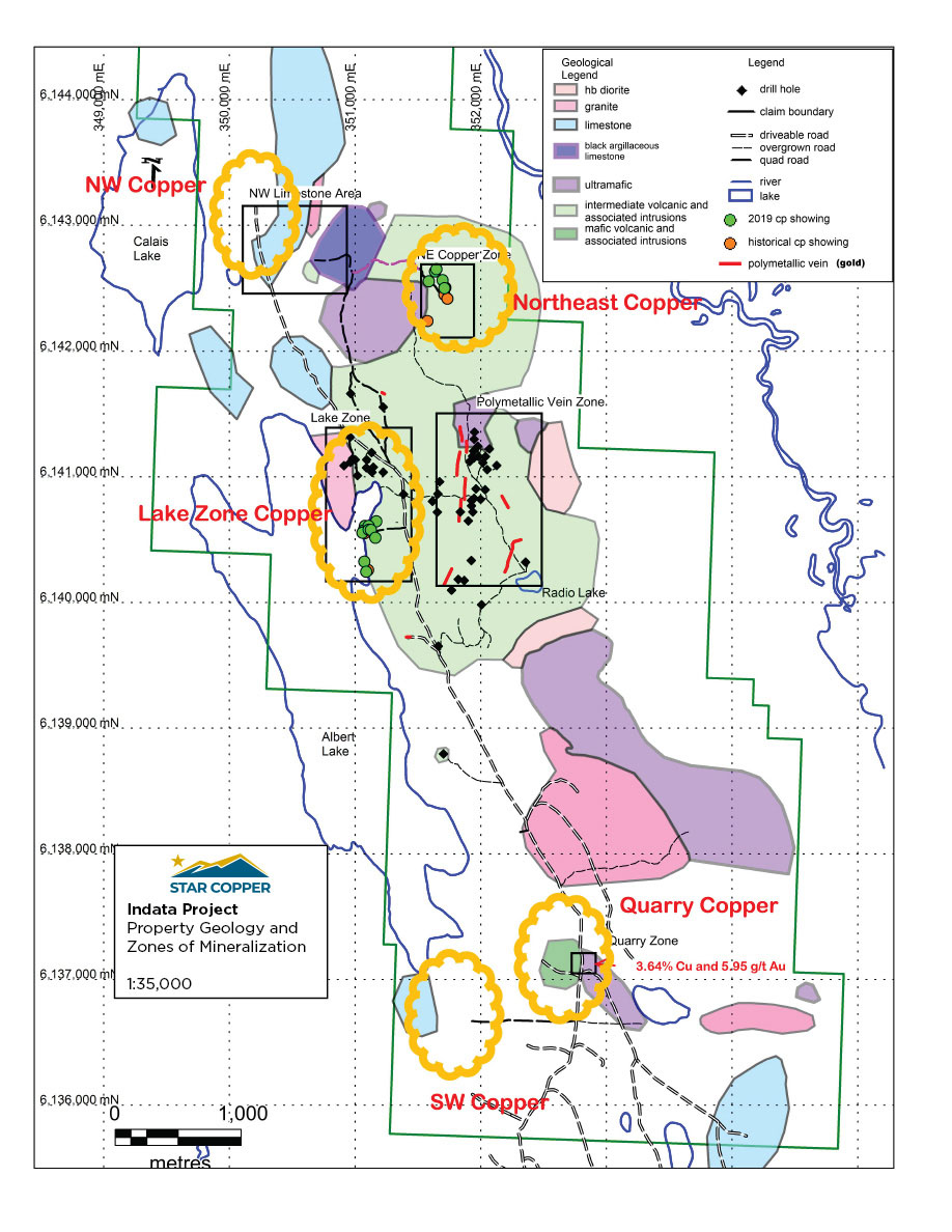
Targets
Porphyry Copper
Porphyry copper mineralization is known on the Indata Project from the Lake Zone on the east side of Albert Lake, some 500 metres west of the area of the polymetallic veins.
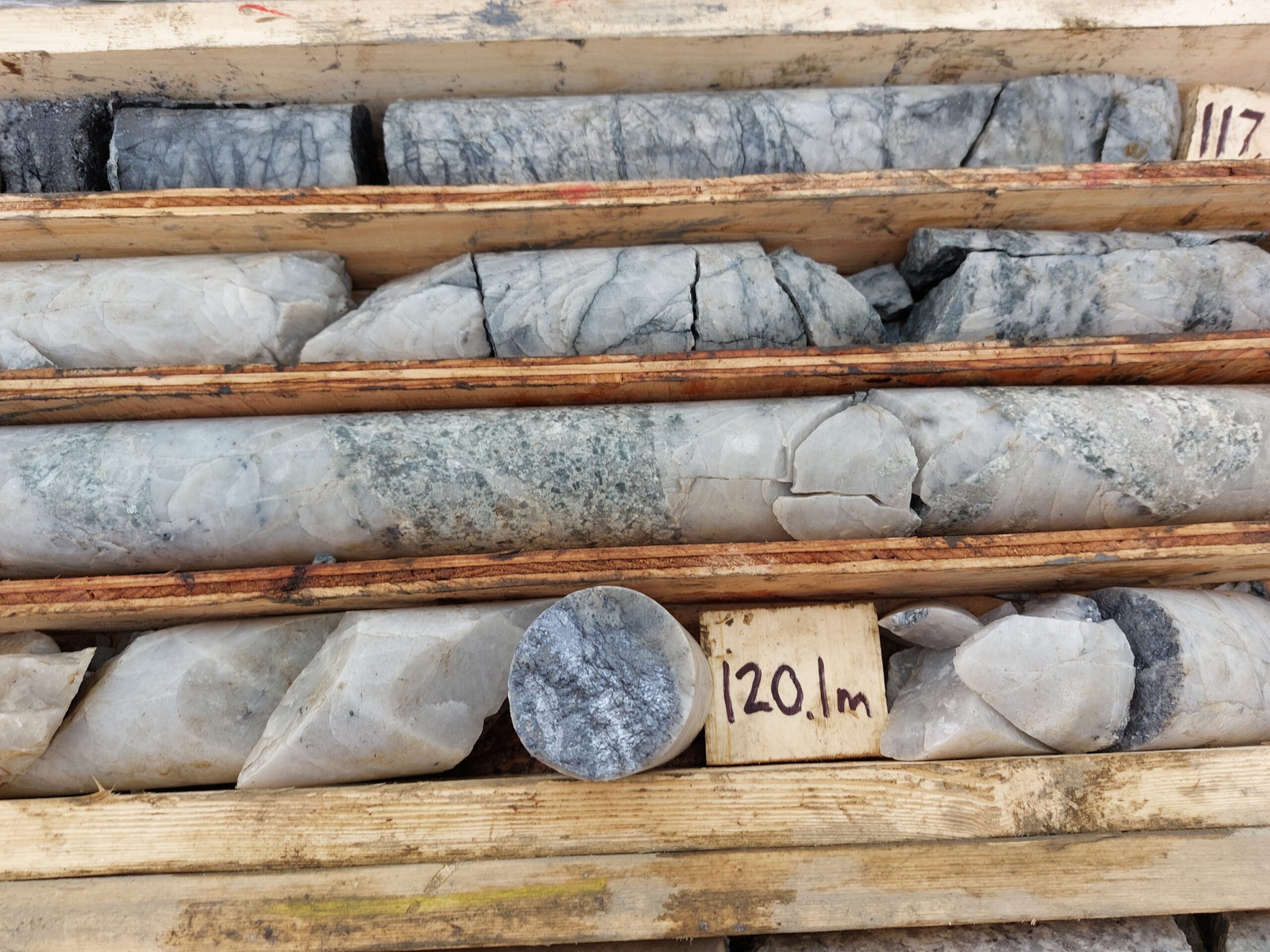
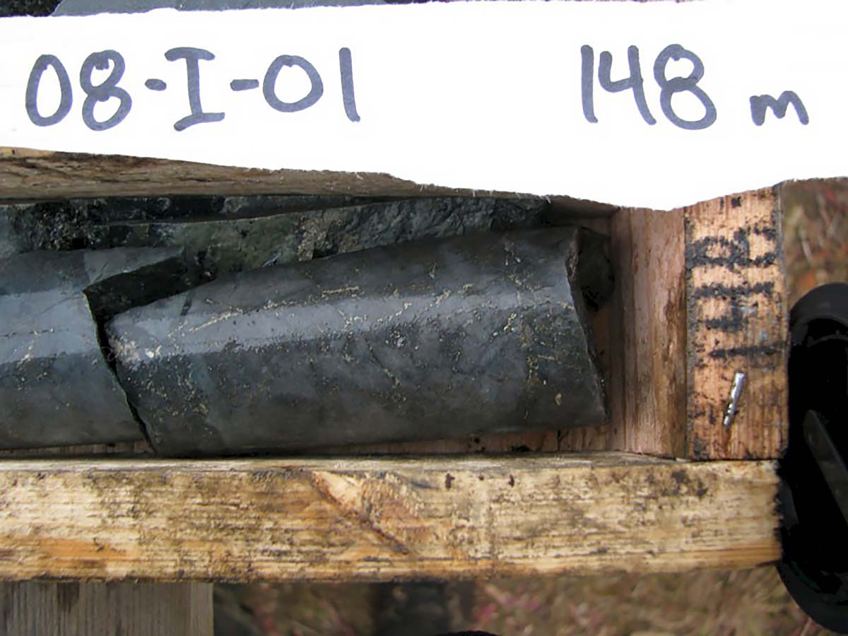
Historical Drill Result: 148 metres grading 0.20% Copper including 24.1 metres grading 0.37 Copper in hole 98-I-4. Four zones of copper mineralization have been discovered at Indata.
Resembles:
The Central Zone of Serengeti Resources’ Kwanika Project, located 14 kilometres north of the Indata Project, which contains an indicated 57.7 million tonnes grading 0.48% coper and 0.55% g/t gold at a 0.4% copper equivalent cuto-off (SRK, 2016).
Carbonate Replacement Deposit
In 1989 a separate area of high-grade copper and copper-gold mineralization was identified in the northeaster sector of the property with only minimal follow-up. Here, a cluster of select grab samples returned a number of high-grade results from an open-ended area of approximately 250m in a north-south orientation (east-west width unknown). Grades can exceed 3.0% copper and 0.50 g/t gold. Other mineralization styles are known from elsewhere in the region.
Click/tap image to enlarge.
Other Deposit Types
Three types of mineralization have historically been explored for at Indata; Porphyry Copper, Mesothermal Veingold and Carbonate Replacement Deposits.
Historic Drill Result
4.0 metres grading 46.20 g/t gold, including 2.0 metres grading 86.4 g/t in hold 86-I-11


