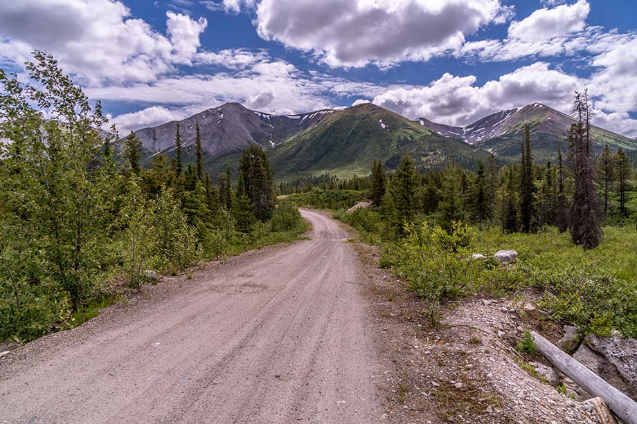
The road-accessible Quesnel Copper project area is in the middle of the Quesnel Trough, a linear northwest trending belt underlain by Late Triassic and Early Jurassic alkalic basaltic volcanic and volcaniclastic rocks of the upper Triassic Nicola Group (Quesnel Terrane).
Click/tap image to enlarge.
SUMMARY
The Quesnel Trough is a well-mineralized region of Late Triassic to Early Jurassic volcano-plutonic island arcs in the Canadian Cordillera. It hosts exploration and economic development targets that include alkalic intrusion-related porphyry copper-gold deposits.
The property is underlain by part of a ~27 km long north-west trending magnetic feature that contains the Middle- to Late Jurassic St. Marie plutonic suite as well as many discrete anomalies associated with Late Triassic to Early Jurassic syenitic to monzonite intrusive rocks. The latter are similar to the causative intrusion for the Mount Polley deposit, ~35 km southwest of the project, which has mineable reserves of 194 Mt grading 0.29% Cu and 0.29 g/t Au*.
One stream sediment sample has been collected on the property in 2008 by the GSC and measures regionally in the 98th percentile for Copper and 90th percentile for Gold.
* Mineralization on the Mount Polley Mine is not indicative of mineralization on the Quesnel Copper Project. Measured and indicated reserve and resource data from imperialmetals.com (February, 2022).